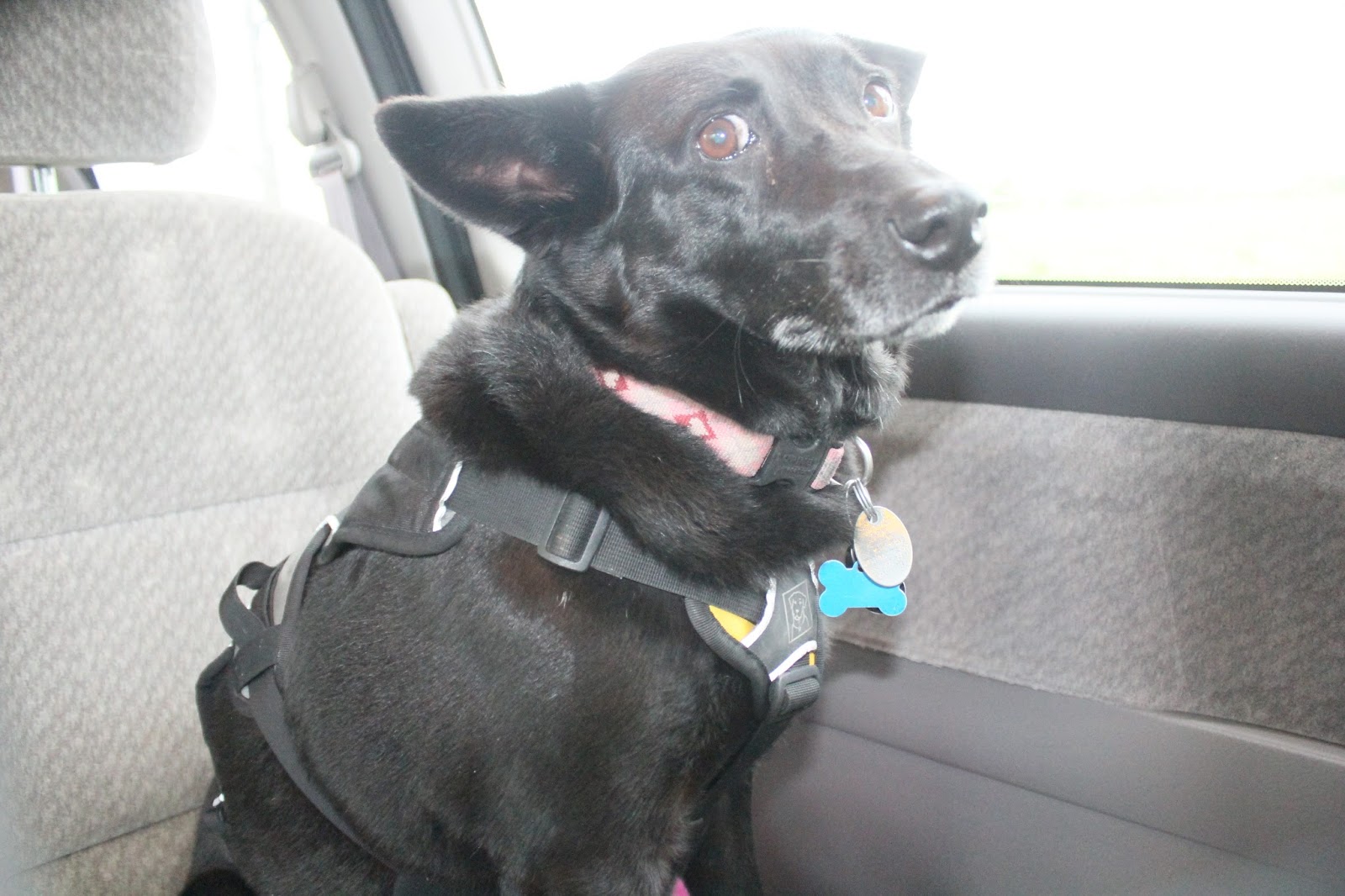
Rest area on I-70. We needed a break from driving on the "Blue Star Highway."
Then back on the highway. The Storm Prediction Center called for the highest risk up north in Nebraska. There was also high risk down south. So, we decided to drive down the middle on I-70. We passed through the Flint Hills, which are gorgeous as always.
Wind turbine heading west on I-70.
Mammatos clouds indicating turbulence in the storms out west.
There was a storm southwest of Salina, Kansas that consistently had a hook echo on the radar with reports of funnel clouds and tornadoes. It looks like it is the only game in town as far as our promiximity, and with the limited light, if we hoped to see something we needed to target that cell. I topped off the gas tank south of Salina and checked the radar. Cell service is really spotty out here. Fueling up before going into a storm is a wise thing. I looked at the radar and saw that we were minutes away from an intercept, but we were on the wrong side of the storm -- Northeast of the storm, with the track coming right over our heads. So we needed to drive south to get away from any potential hail core and to get south of the rotation track.
We got to a good spot, and found a bunch of chasers in the same area. It was kind of like a parking lot.
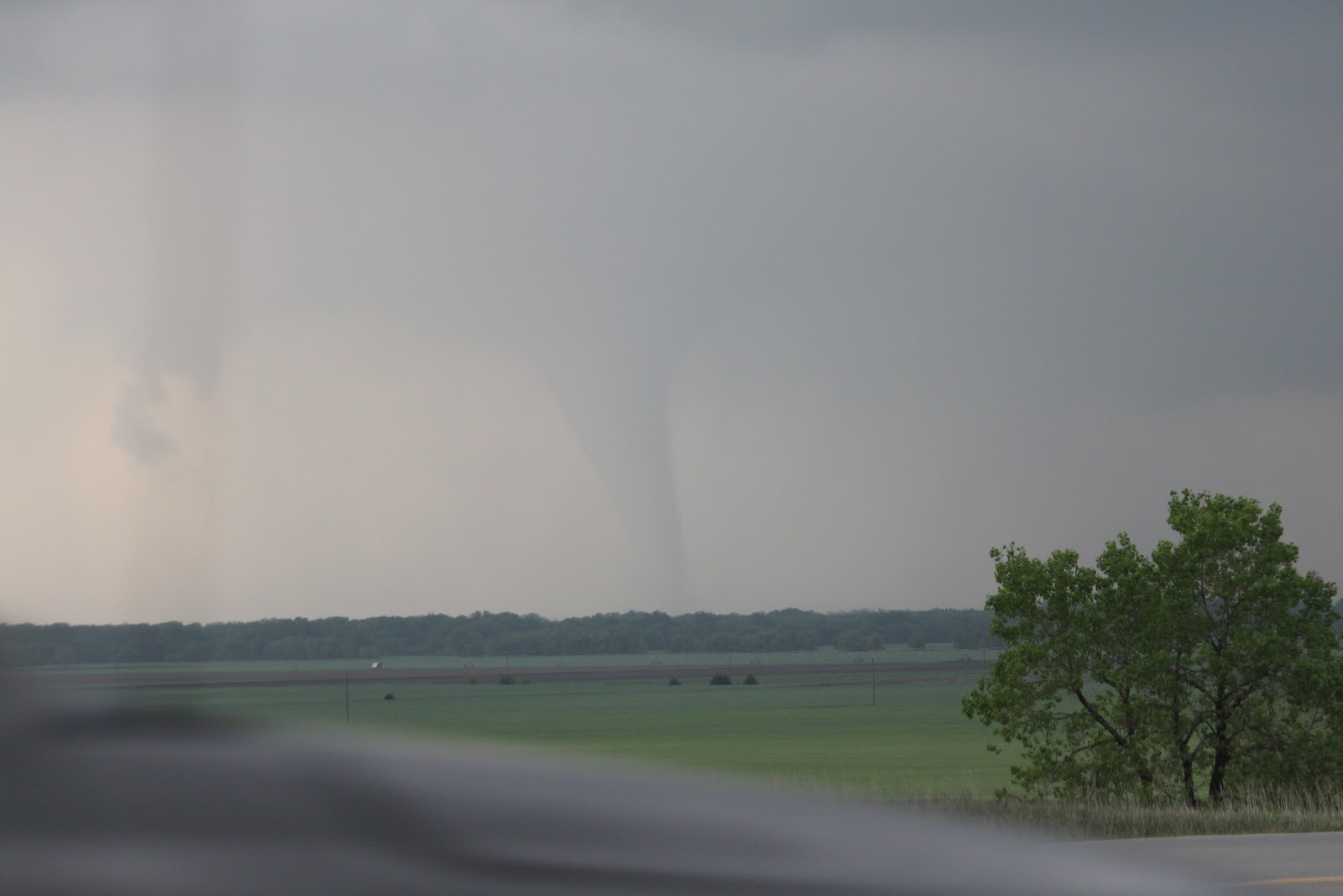
It wasn't long before the tornado appeared and started passing nicely to our north. We were in a good safe spot -- no hail, no wind, and an excellent view of the rotation.
We repositioned north towards Salina. The tornado was cycling and lifted, fortunately over the city. We could hear the warning sirens in Salina.
The tornado crossed over I-70 northeast of Salina, and did some damage to road construction signs and a junk yard. The tornado then reformed into a perfect cone as we watched it head away from us as night fell. The trip back home didn't seem very long at all. We made it to Topeka, which was under threat of another tornado producing cell. However, that dissipated just a few minutes southwest of Topeka. Later we watched on the radar as a tornado hit the south part of Wichita. Then later in the evening, unfortunately, a tornado hit Woodward Okalahoma with loss of life.