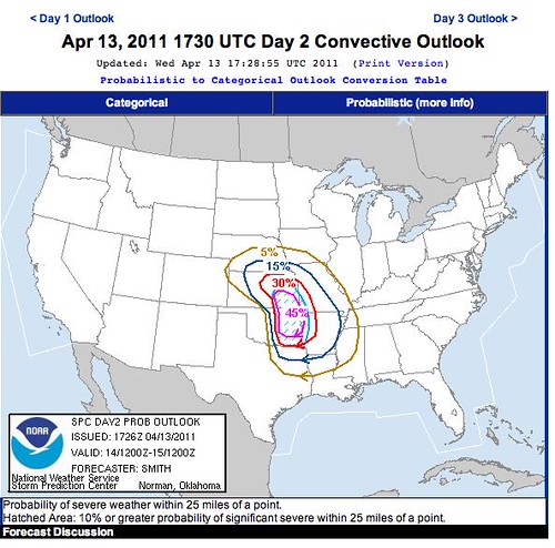
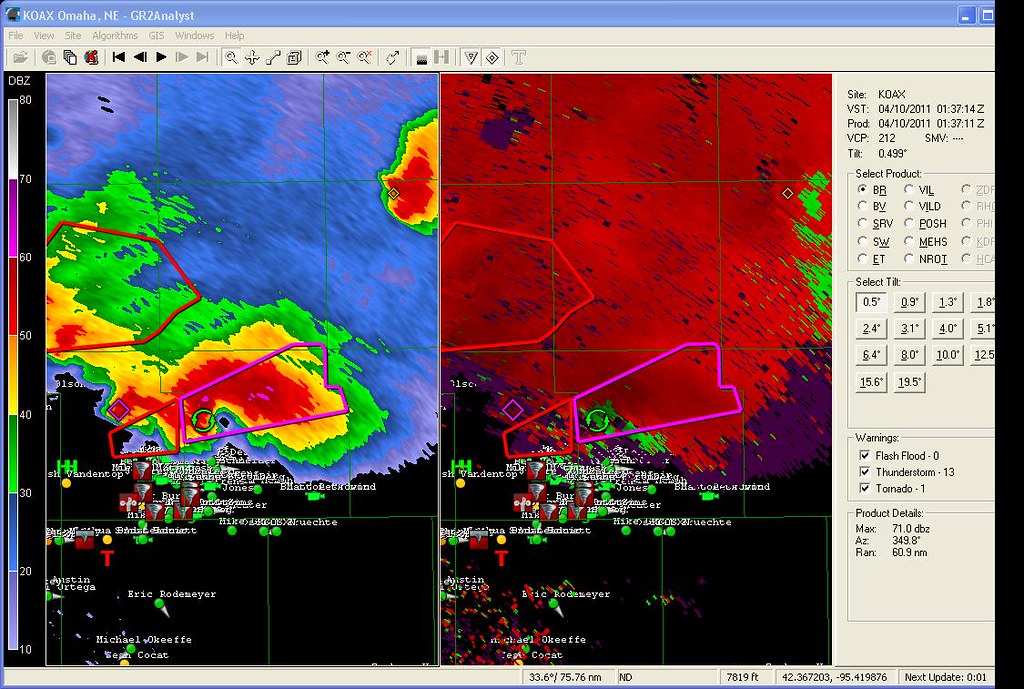
I neglected to put some screen grabs up from Saturday 9 April 2011 severe outbreak in Iowa
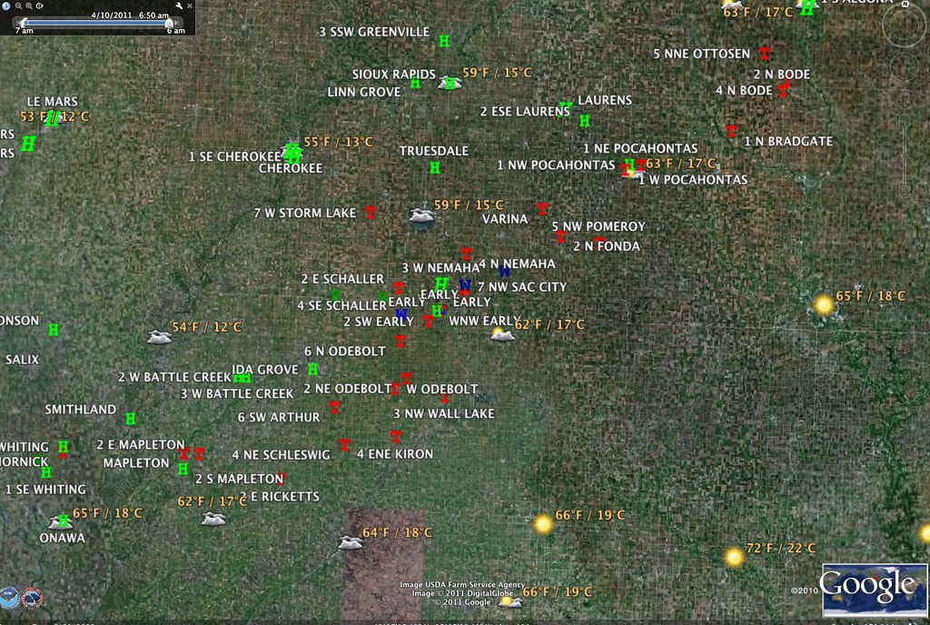
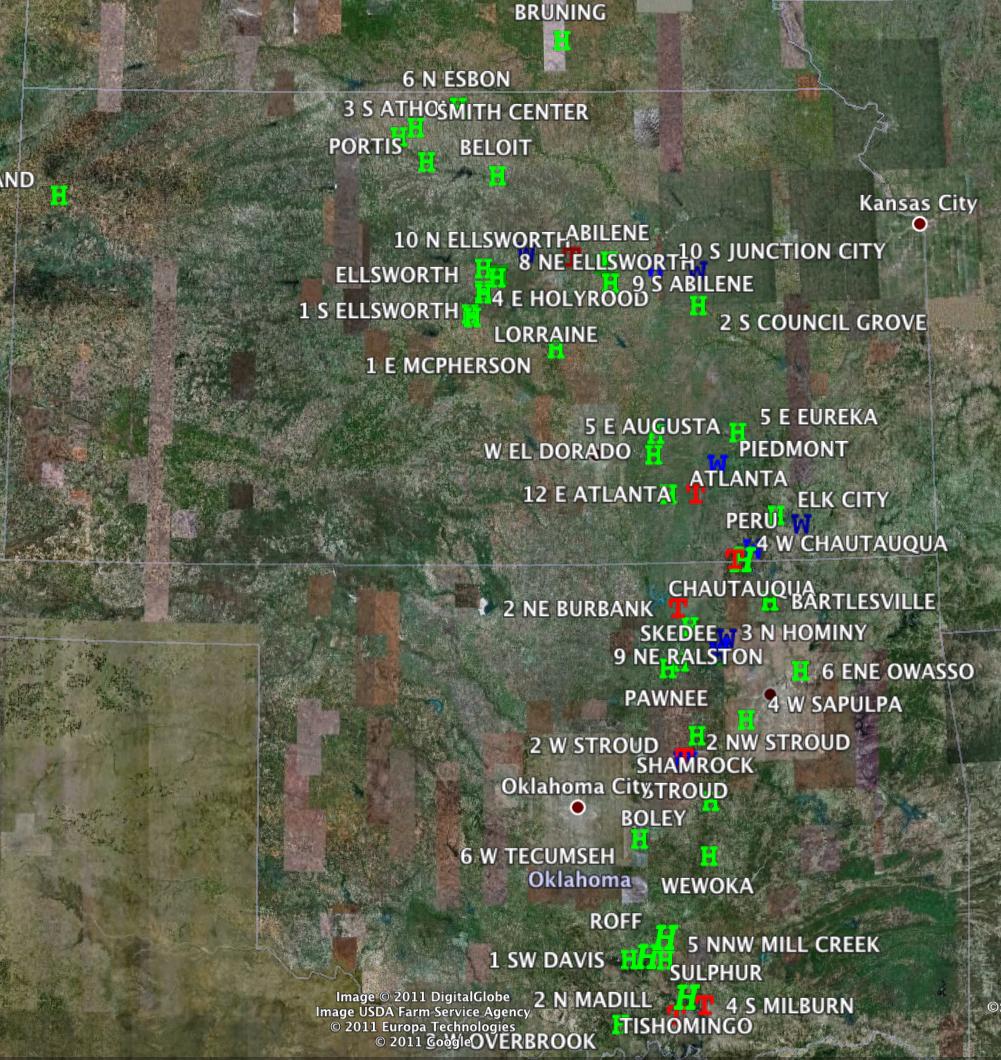
Here is the NWS storm reports
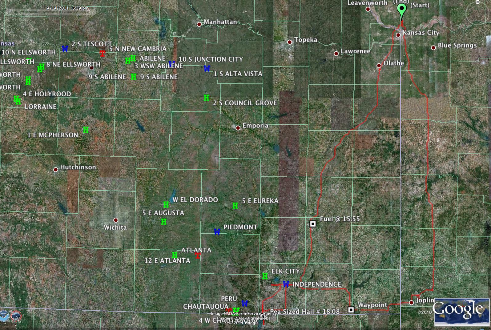
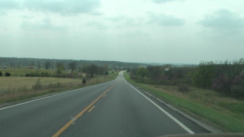
169 Southbound
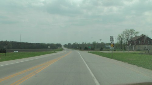
14:26
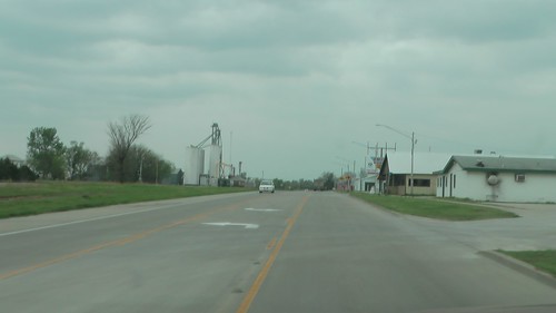
15:50
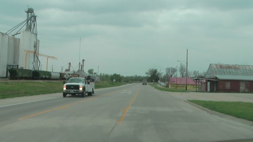
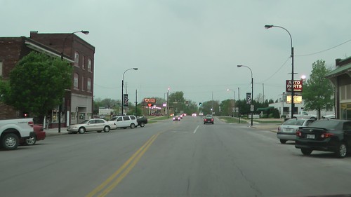
16:14 -- Driving east into Independence, Kansas. I love the googie sign on the mid century motel.
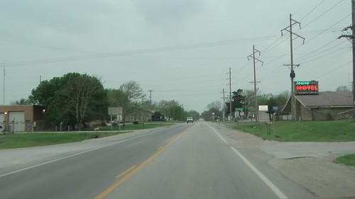
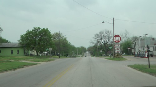
As I drove into Independence, I saw a sight I've seen many times -- a neighbor standing out in his yard searching the skies with a worried look.
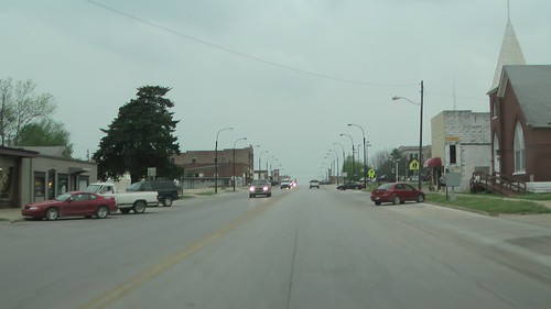
A great thing about storm chasing is that you get to visit many areas that you might not of normally. The bad thing is that oftentimes, you don't get to stop and explore.
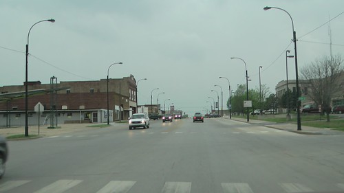
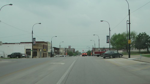
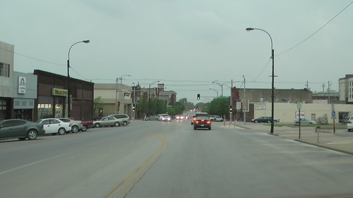
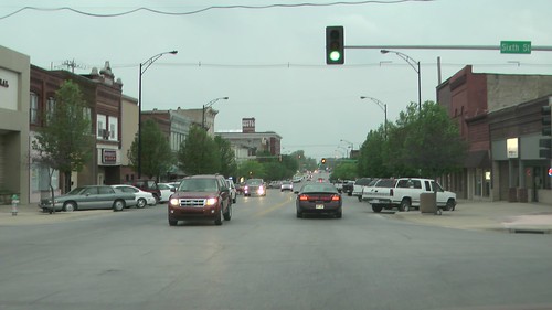
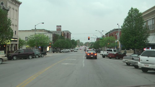
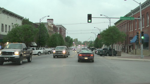
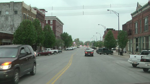
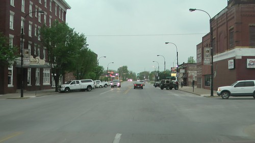

I've been through Independence, Kansas before -- in 1992, when I took a trip down to Texas via back roads.
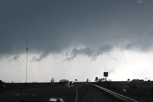
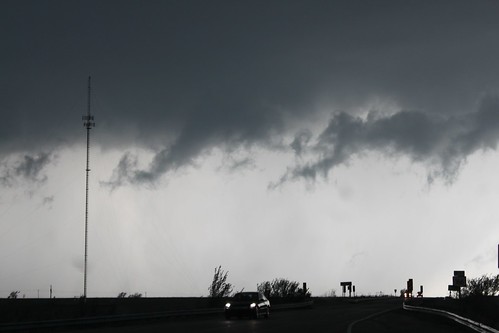
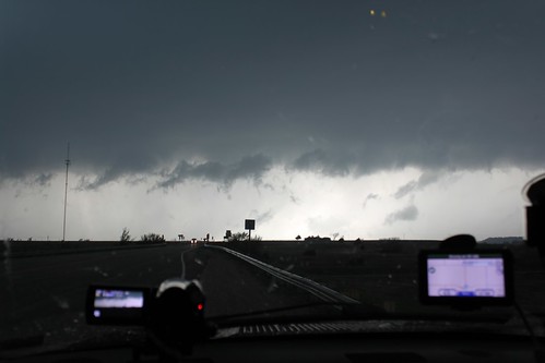
Wall Cloud at 75 and 166, a mile and a half south of Havana, Kansas @ 16:43
17:08 -- North of Caney, Kansas near the Kansas/Oklahoma border, things were getting scary, with heavy gusts and sideways rain.
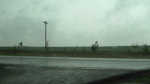
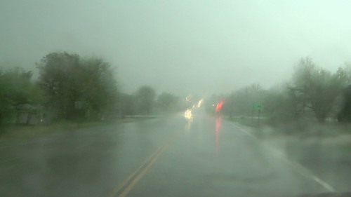
17:12 -- Caney, Kansas
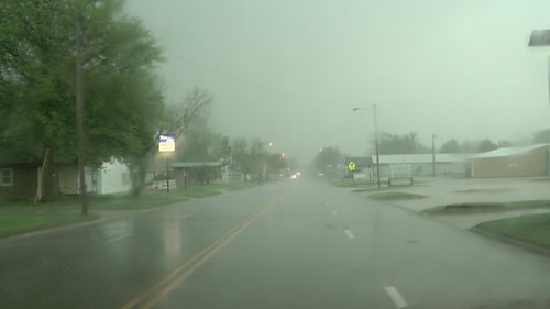
17:23
I went into Oklahoma, then turned around. I couldn't decide which cell I wanted to chase, the northern one or the southern one. I got into some pea sized hail at this point. I decided to stay between them and see which one looked more interesting. They both petered out.
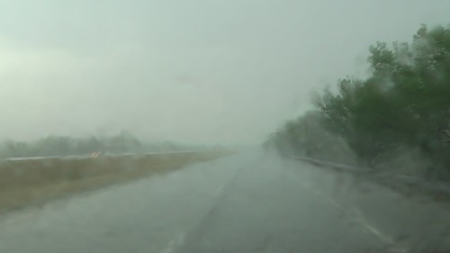
17:27 -- Back through Caney, Kansas
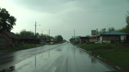
Deciding to ride between the northern cell that I had intercepted with a dying wall cloud and was heading towards Independence, Kansas, and a vigorous looking cell south of me that was still in Oklahoma I decided to turn east on 166. I was fighting poor cell service, an aircard that wasn't charging and other technical issues that were making me dangerously blind, I decided to stop and regroup in a tiny town called Tyro.
17:36 -- I pulled into the empty gravel lot of what looks to be an empty general store.
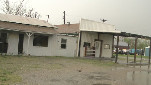
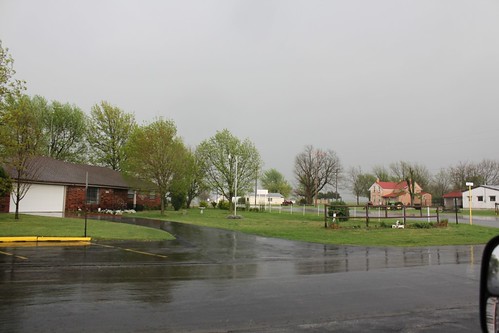
Some strong wind gusts started hitting me, so I decided to find a sturdy wall to hide behind while I worked out my issues. It wasn't a great place to be -- next to a church, but it was the best the area had to offer in case some surprise was blowing my way.
Observing some gusts in Tyro Kansas @ 17:32
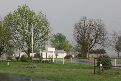
I decided to head east on 166, then north on some county road back into Independence. The cells were merging overhead and the one to the south was weakening tremendously. The one to the north in Independence was still severe warned.
17:53
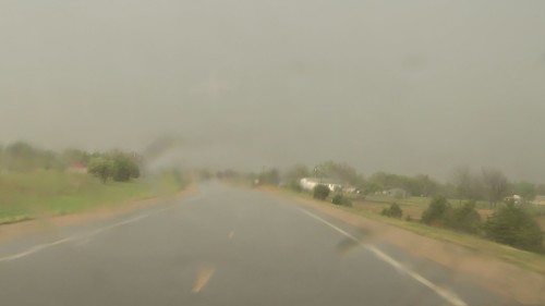
17:59 -- Dearing, Kansas
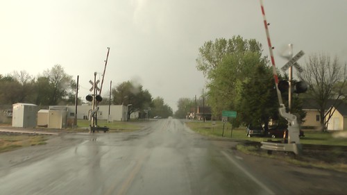
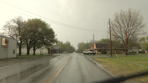
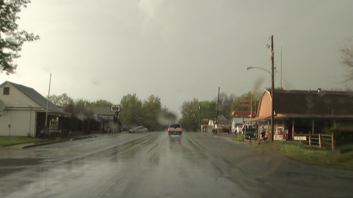
18:00 -- North to Independence, Kansas
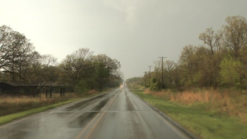
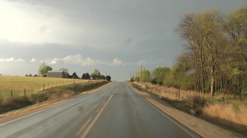
18:13 -- Independence, Kansas
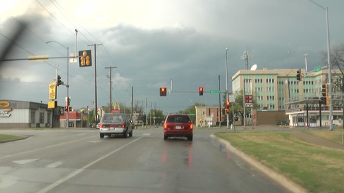
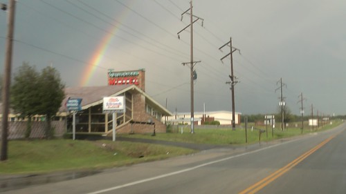
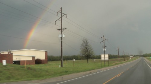
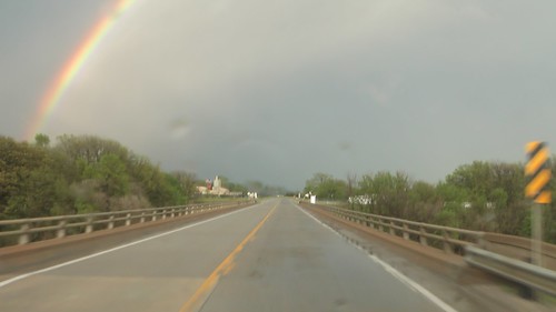
18:13 -- East on 160, chasing a beautiful double rainbow that had formed to my east
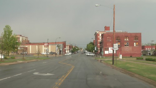
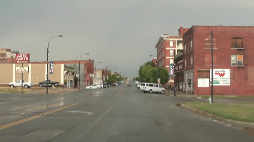
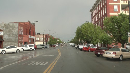
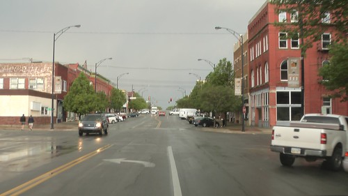
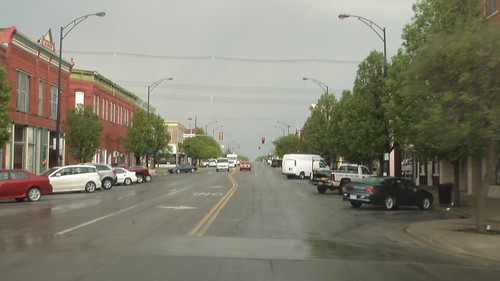
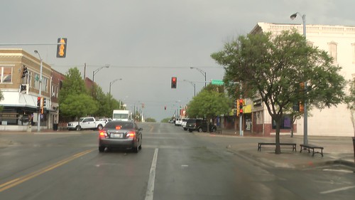
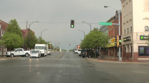
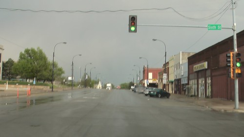
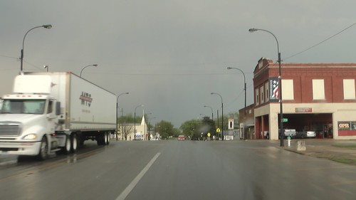
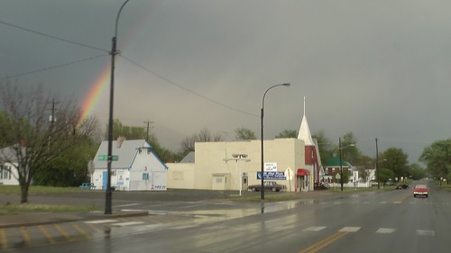
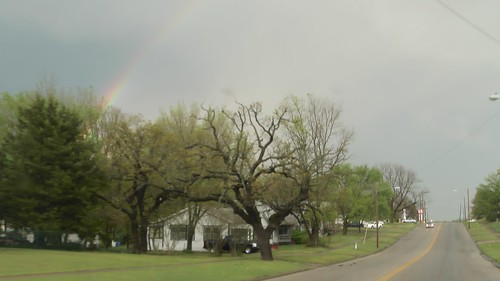
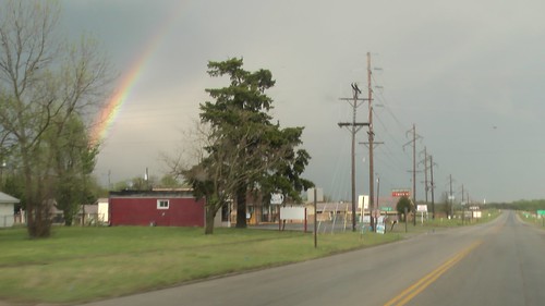
18:15 -- Mid-century modern motel with googie east of Independence, Kansas
18:44 -- Old gas stations in Altamont, Kansas
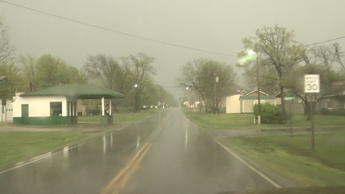
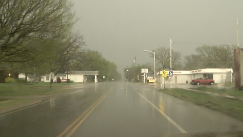
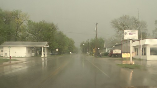
East of Independence, Kansas @ 18:48
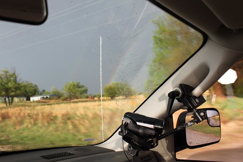
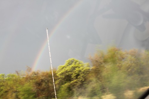
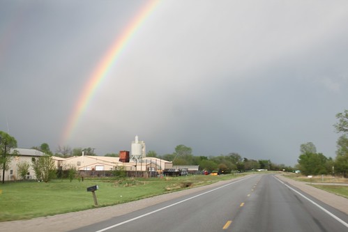
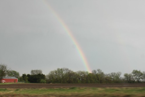
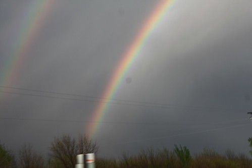
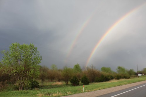
Check out the strange striations of the refracting light on the western edge of this cell which was severe warned. KS 160 near Altamont @ 19:08
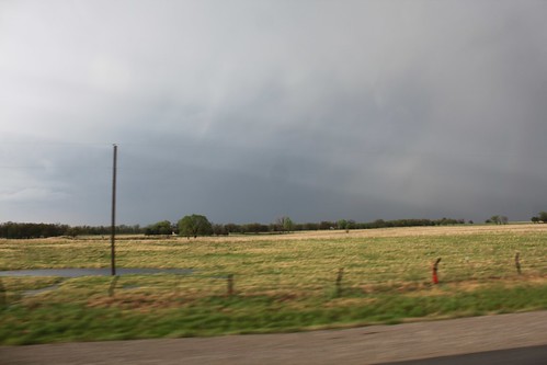
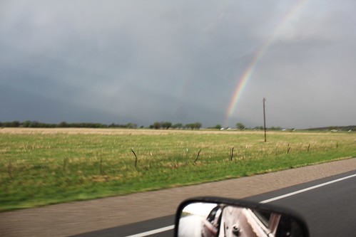
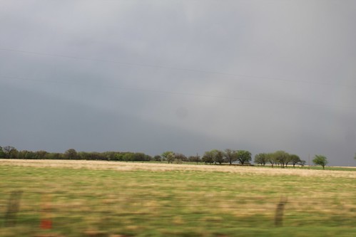
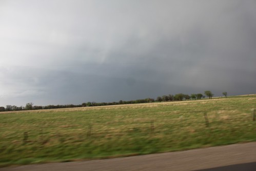
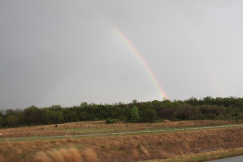
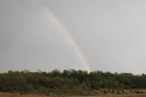
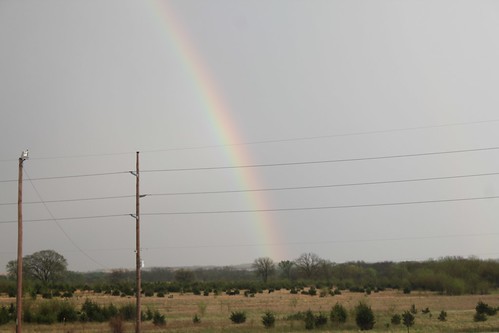
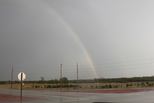
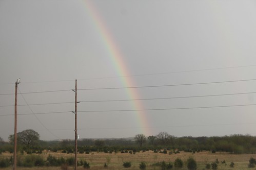
18:58 -- Oswego, Kansas
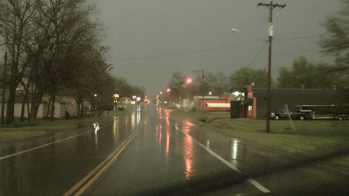
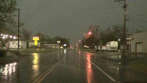
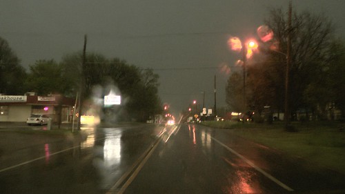
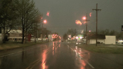
As night fell, all the storms that had been dying suddenly got stronger. I could see the parameters for sever weather were getting better when I could get data. This added to me driving in blinding torrential rain with spectacular lightening.
18:59 -- Xavier road north of Chetopa, Kansas
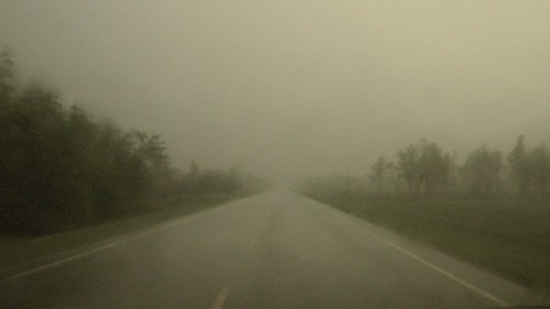
I was toying with making a dash towards east central Oklahoma as the stuff down there was looking much better than the muck I was in. However, darkness fell before I got to Chetopa.
19:07 -- Chetopa, Kansas
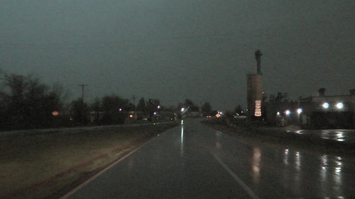
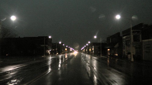
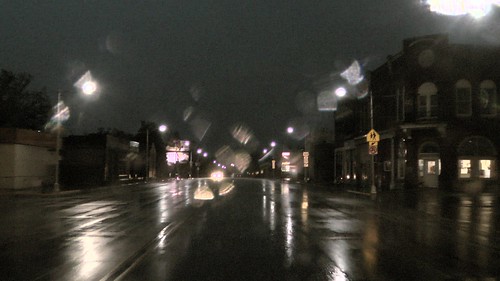
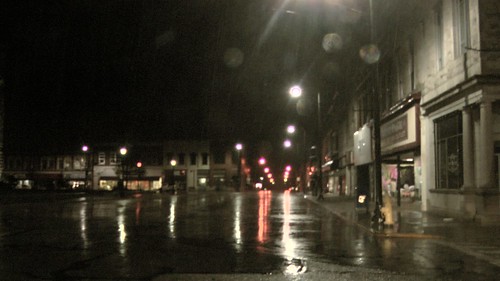
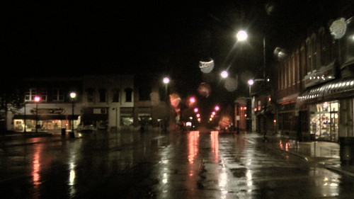
I changed my mind and headed east towards Joplin. Things were getting scary as it was pitch black outside with torrential rain and lots of lightening. My data was going in and out, so it was real fun driving blind in the dark. I came upon Baxter Springs, Kansas, and found the town dark with no power.
19:54 -- Baxter Springs, Kansas
I was on Route 66, but there was no way I could sight see. It was too dark and the weather was too severe.
I got to a gas station and found if I listened to 102 FM, they were giving wall to wall updates on the weather which was really helpful. In this part of the country, the airwaves are dominated by evangelical jeebuz stations that are loath to do anything other than preach or play bad christian music. The NPR station was cutting in and out and it was not really giving good up to date info. The radio station confirmed what my spotty data was saying -- there was a tornado warned cell to my south with reports of golf ball sized hail and funnel clouds. I came into Joplin, Missouri and decided my chase was over. I also decided, as I have never been to Joplin before, to come back on a day trip -- much to see.
20:05 -- arriving in Joplin
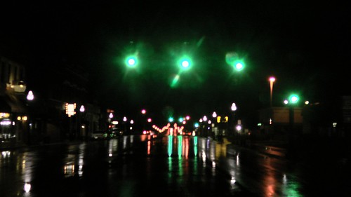
Most of the severe stuff had passed to my south and now was heading east but weakening. I started heading home.
20:43 -- Webb City
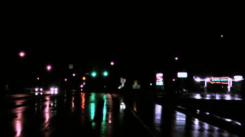
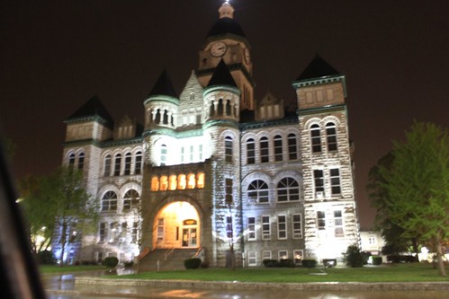
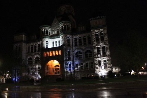
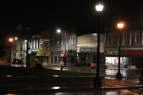
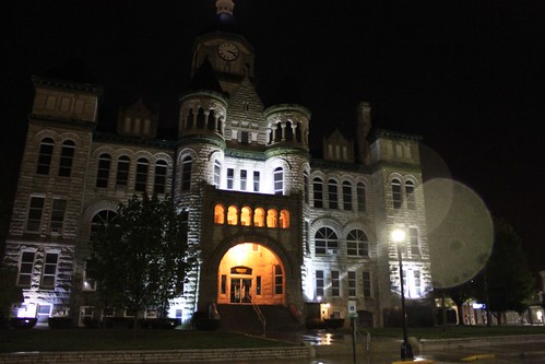
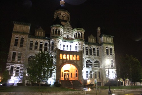
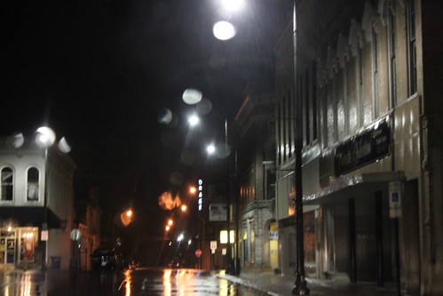
I stopped in Carthage Missouri after most of the severe stuff was passing. Love the courthouse. 21:09
Watch live video from stevosvoboda on Justin.tv
