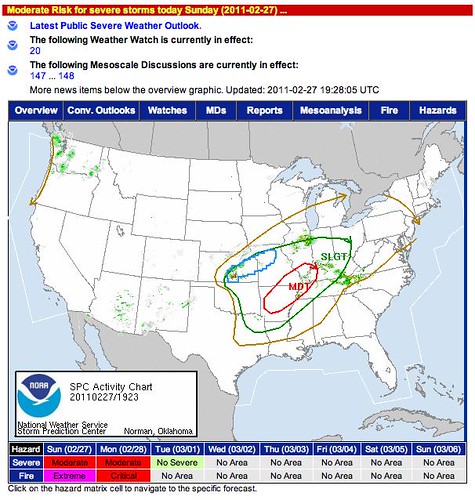
After a pretty hard winter, stirrings of spring are starting to show early and pretty far north. A warm front rests just to the south of the Kansas City metro area, and the SPC has issued a moderate severe threat for Arkansas, Kentucky and Tennessee...
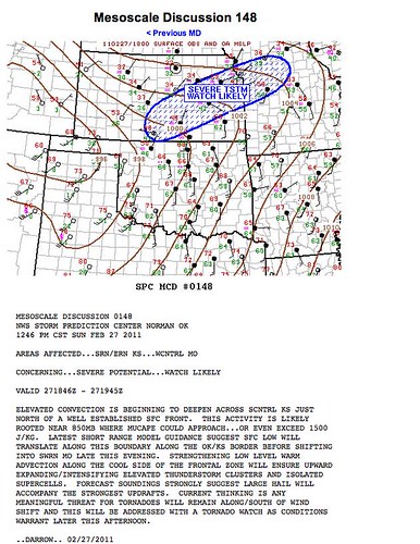
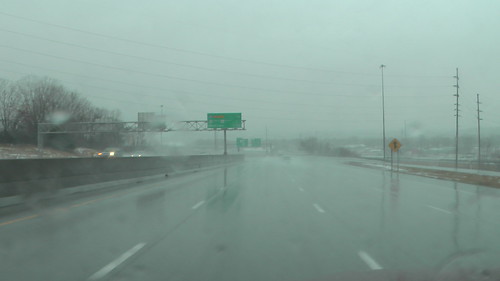
With snow still on the ground from Thursday afternoon and evening, we have fog in our area. However, the NWS has declared a severe thunderstorm watch just to our south and west.
0000 -- tornadoes in and around St. Louis in the past hour and a half or so...
Post Event
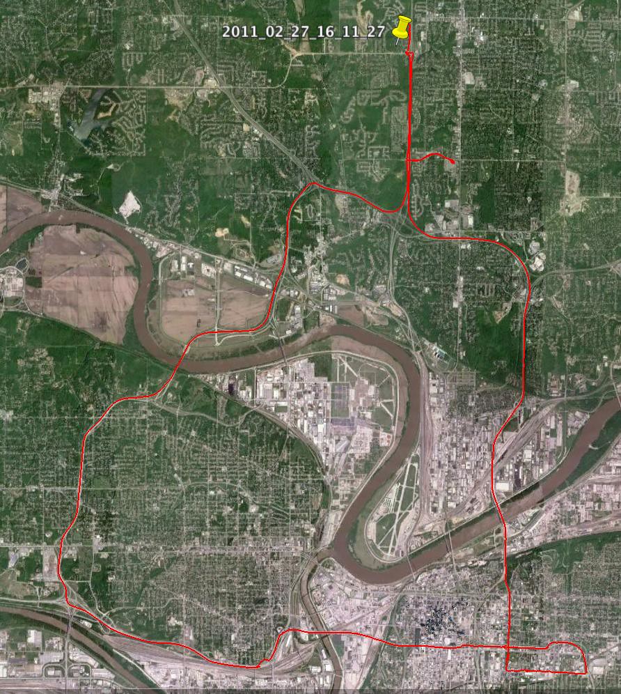
Stormchase Daymap 2-27-11
Here are videos from the livestream...
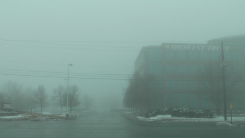
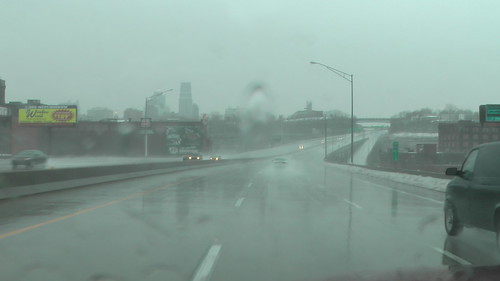
The day started out in Kansas City with heavy fog.

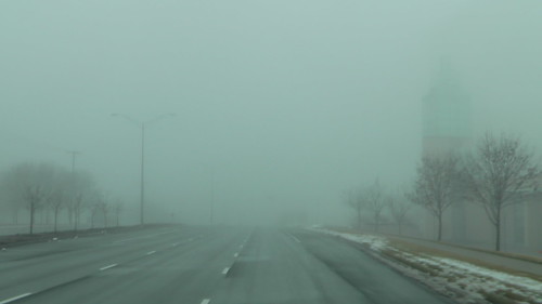

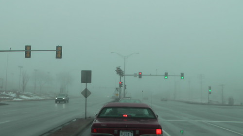
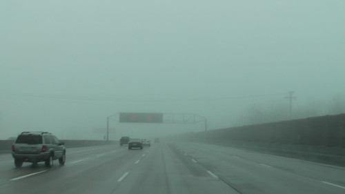

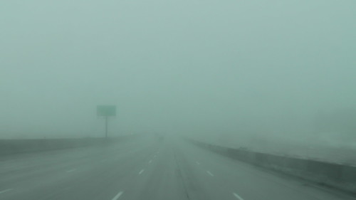
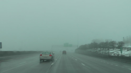
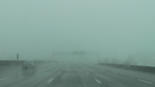
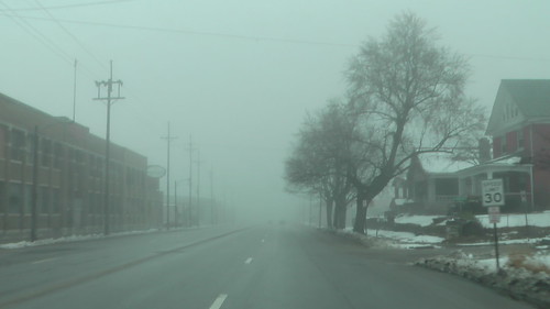
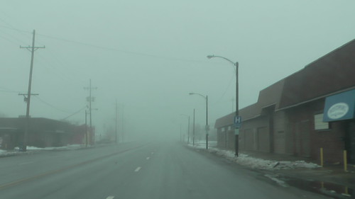
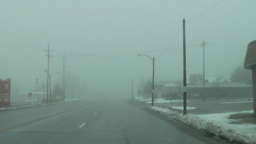
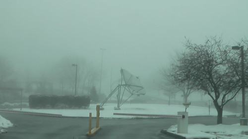


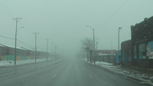

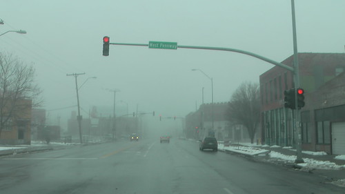
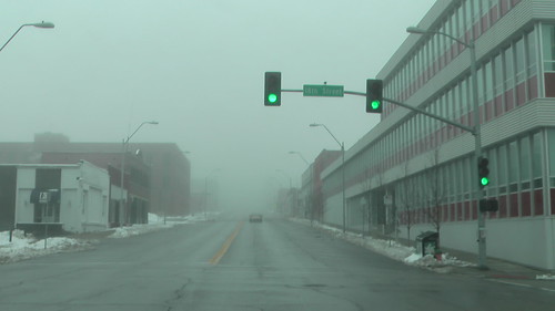


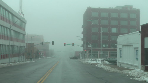

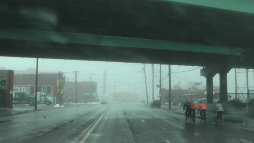
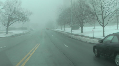
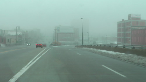


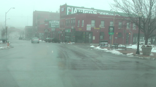

When the storms rolled in, there was some heavy lightening and some pea sized hail at Englewood and 169 in KCMO. The torrential rains combined with the melting snow to form rivers in the streets.
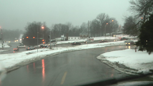
Pea Sized Hail

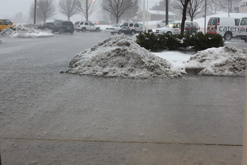
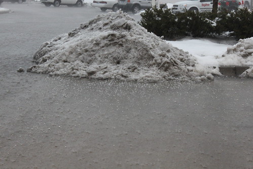
16:27:01 Sunday 27 February 2011
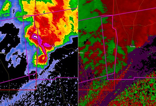
GR Screen Grab 2-27-11 @ 2123

GR Screen Grab 2-27-11@2137
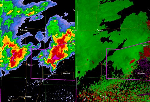
GR Screen Grab 2-27-11 @ 2220
GR Screen Grab St. Louis 2-27-11 @ 2330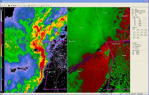
Springfield Radar Summary 2-27-11
2-27-11 Springfield Event Summary

2-27-11 Springfield Event Summary Map

2-27-11 NWS Pleasant Hill

2-27-11 NWS Pleasant Hill Radar Images

Watch live video from stevosvoboda on Justin.tv
No comments:
Post a Comment